When Google left them stranded, a Swedish mapping startup stepped in

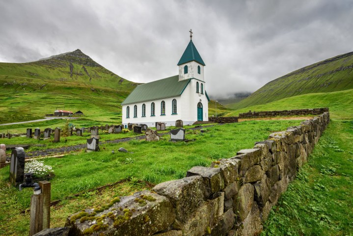
mapillary faroe islands stock photo
Image used with permission by copyright holder
When the Faroese Tourist Board strapped a 360-degree camera to the back of a sheep to draw interest to the Faroe Islands, it was hoping their Sheep View video would attract the real-life Google Street View. While the video was viewed nearly a half million times, Google’s cars didn’t budge. So Swedish mapping startup Mapillary answered the call, sending a team to the Faroe Islands to map both roads and areas not accessible by vehicle with off-the-shelf camera gear.

The team consisted of chief technical officer Peter Neubauer and his son, Oskar, who were both impressed with the Sheep View video. “That’s exactly the Mapillary spirit!” Neubauer wrote in a blog post. They changed their holiday travel plans in order to visit the Faroe Islands, and brought a photo-mapping kit with them.

Mapillary-Faroe-Islands-2The centerpiece of the rig was the rather adorable Giroptic 360-degree camera, secured to the roof of a car with standard GoPro suction cup mounts and a liberal helping of duct tape. Two Garmin VIRB XE action cameras played a supporting role, and the team even used their phones to fill in when necessary.

“After trying a few different configurations, we finally settled on a setup where we pointed one action camera forward and one to the side, and drove all streets back and forth, since this is what you have to do on the Faroe Islands anyway,” Neubauer explained. They used a similar setup attached to a handheld pole to map off-road areas.

After coming back from each day of driving and walking the islands, the team went to the Torshavn public library — which had the fasted internet on the islands — to upload the images for Mapillary to process. They spent five in total, and significantly increased photo-mapping coverage on the Faroe Islands.

Mapillar-Faroe-Islands-1
Image used with permission by copyright holder

While Mapillary took it upon itself to map the Faroe Islands, the company’s larger goal is to encourage people to do their own photo mapping. It is looking to crowdsourcing to solve the problems that are too small for Google, such as mapping remote, sparsely populated locations. It is also great for anyone who wants to add Street View-style maps in areas where there are no streets, such as hiking trails. If you’d like to try your own hand at photo-mapping, head over to Mapillary to sign up. An iOS or Android phone is all you need to get started.

Daven Mathies
Former Digital Trends Contributor
Daven is a contributing writer to the photography section. He has been with Digital Trends since 2016 and has been writing…
Fujifilm’s most-hyped camera has just started shipping
Fujifilm's X100VI camera, released in 2024.

The latest iteration of Fujifilm’s X100 camera started shipping on Wednesday.

The X100VI is -- as the name cleverly suggests -- the sixth in the series. Early reviews have been mostly positive as the camera builds on the successes of the already impressive earlier models going all the way back to the original X100, which launched in 2011.

Read more
How to resize an image on Mac, Windows, and a Chromebook
Windows 11 set up on a computer.

Resizing an image is something we’re all going to have to do at some point in our digital lives. And whether you’re using Windows, macOS, or you’re rocking a Chromebook, there are ways to scale images up and down on each PC. Fortunately, these are all relatively simple methods too.

Read more
Watch an acclaimed director use the iPhone 15 Pro to shoot a movie
acclaimed director uses iphone 15 to shoot movie shot on pro midnight

Shot on iPhone 15 Pro | Midnight | Apple

As part of its long-running Shot on iPhone series, Apple recently handed acclaimed Japanese director Takashi Miike (Audition, 13 Assassins, The Happiness of the Katakuris) an iPhone 15 Pro to shoot a short film.

Read more