  1. Home
  2. Cars
  3. News

Google Maps on Android Auto will display speed and traffic alerts even with no destination set

The rollout is gradual, so not everyone will see it right away.

Add as a preferred source on Google
google-maps-android-auto
Google

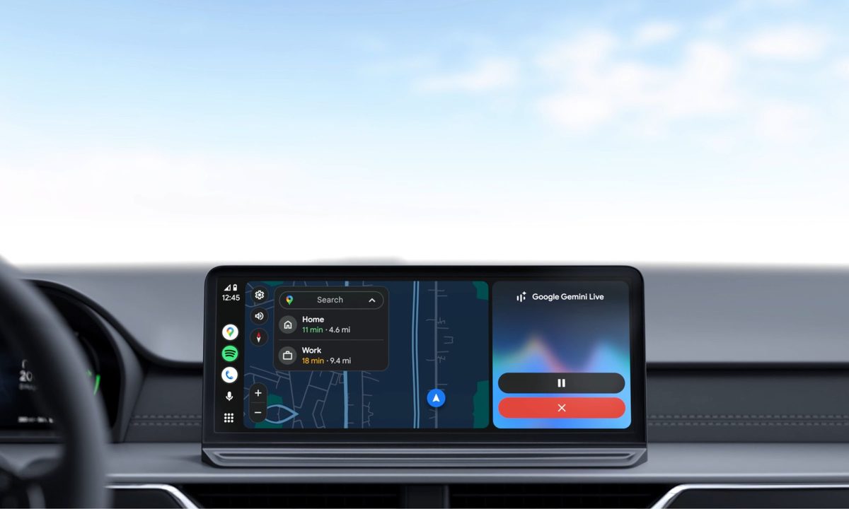
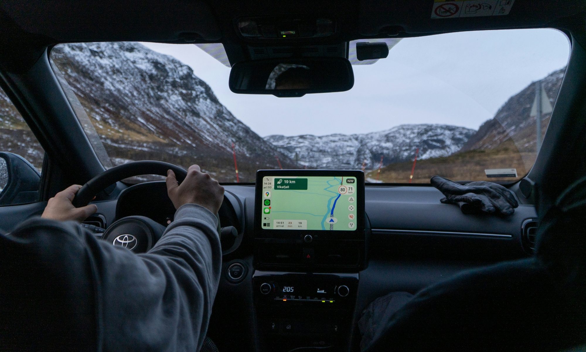
Android Auto is about to get a useful upgrade to its Google Maps experience. According to 9to5Google, Google has confirmed that the app will soon display your live speed, the posted speed limit, and traffic signals or stop signs, all without an active route selected. Since so much everyday driving happens on short or familiar trips where nobody bothers setting a destination, this update addresses a small but annoying limitation for Android Auto users.

What exactly is changing here?
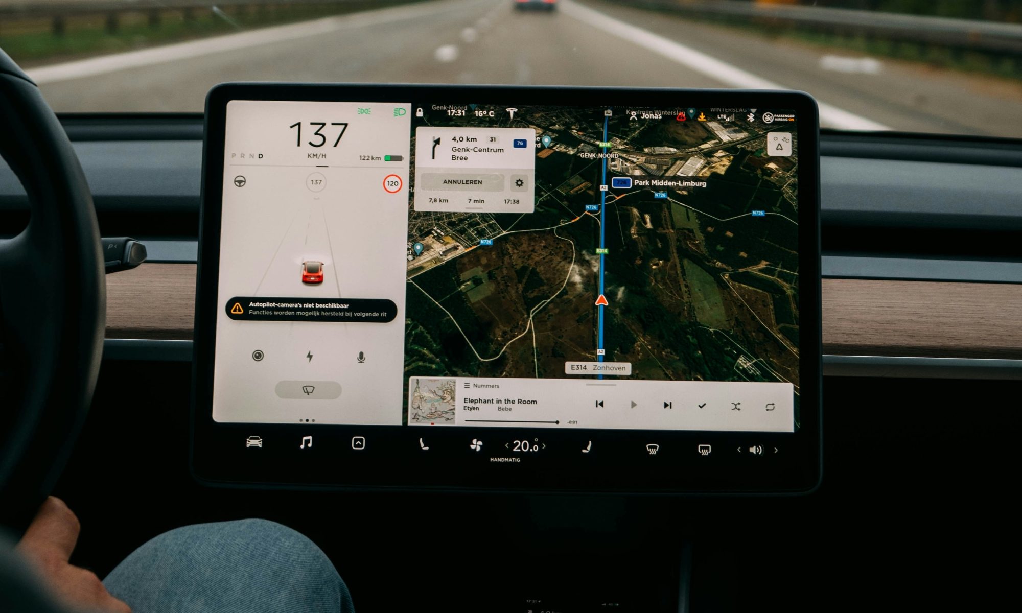
Until now, seeing your speedometer, speed limit, and road sign alerts on Android Auto required you to actually start navigation to somewhere. That meant if you were just driving around town or heading somewhere routine, you missed out on that information entirely.

Recommended Videos

Google has now confirmed this limitation is going away, letting these features show up on your dashboard display regardless of whether you’ve typed in a destination. The rollout is happening gradually, so not everyone will see it right away, and there is currently no confirmed timeline for when it reaches all users.
Is anything else going on with the speedometer?

Some Android Auto users recently reported that their speedometer vanished entirely, which caused confusion. Google has confirmed it’s investigating this as a bug rather than an intentional removal of the feature. So while the expansion to work without navigation is a welcome upgrade, it is rolling out alongside an unrelated glitch that Google is still working to fix. For now, drivers should expect a mixed experience depending on their device and app version.

Google recently rolled out a broader Android Auto refresh with a more modern Material 3 Expressive design and glanceable widgets, and it has also been expanding access to Immersive Navigation and the live speedometer to more users running stable versions of the app. Together, these updates point to Google steadily modernizing the entire Android Auto experience.

Manisha Priyadarshini
Manisha Priyadarshini is a tech and entertainment writer with over nine years of editorial experience.
BMW’s new electric SUV coupe has 428 miles of range and offers impressively fast charging
BMW’s new iX4 can add 184 miles before your coffee gets cold
BMW iX4

BMW has officially revealed the iX4, and while the swooping coupe-SUV shape will probably get most of the attention, the numbers under the hood are what's really impressive. The BMW iX4 50 xDrive is rated for a preliminary maximum of 428 miles of EPA range, powered by a 112.2kWh usable battery and dual electric motors producing 463 horsepower.

The company claims it can sprint from 0-60 mph in 4.7 seconds. Just like the BMW iX5, the iX4 is a redesign of the brand's X4.

Read more
Rivian’s new Pet Cam lets you check on your dog right from your phone’s lock screen
The new feature combines the R2's interior camera with Pet Mode, giving you a quick way to make sure your pup is comfortable while you're away.
Rivian R2 Pet Cam

Leaving your dog in the car, even for a quick coffee run, always comes with a little worry. Is your pup okay? Rivian wants to put those worries to rest with its 2026.36 software update, which brings a new Pet Cam feature to the R2.

According to Rivian, over 60% of its owners bring their dogs along for the ride, so it's no surprise the company keeps adding pet-friendly features. Pet Mode already keeps the cabin cool and comfortable. Now, Pet Cam lets you actually see how your pet is doing.

Read more
Google’s Waze app is being misused by speeding drivers to dodge police fines
The crowdsourced incident reporting system in Waze is being misused by speeding drivers to dodge police action.
Incident reporting in Waze.

Waze is a popular navigation app that is used by millions of users across the globe. One of its standout features is a crowd-sourced incident reporting system, which now even ties into Google Maps, as well. The built-in Disruptions and incidents feature lets users add warnings about accidents, closed lanes, ongoing construction, traffic jams, and other road hazards on the map.

The objective is to use this crowdsourced incident reporting system to warn other drivers so they can adjust their routes accordingly. The Volpe Center for Transportation Research is even using the same data from Waze to predict crashes and deploy emergency responders. Well, it appears that rash drivers have found another way to use these alerts. According to research by the University of the Sunshine Coast, this live alert system is now being used to drop info about police presence on the map, so that other drivers can slow down in time and avoid speeding tickets.

Read more