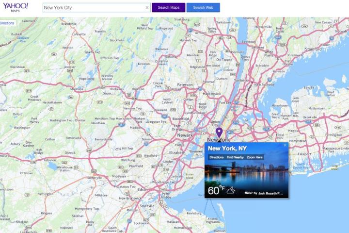
It’s the end of the road for Yahoo’s Maps site

its the end of road for yahoos maps site yahoo
Image used with permission by copyright holder
It’s the end of the road for Yahoo Maps – the company said Thursday it’s closing the site at the end of June. The decision was made in a move “to better align resources to Yahoo’s priorities as our business has evolved since we first launched Yahoo Maps eight years ago,” the company’s Amotz Maimon said in a blog post.

Those priorities include search, communications, and digital content, with a bigger mobile presence also playing an increasingly important role in the company’s long-term ambitions. Despite the closure of the Yahoo Maps site, which is currently powered by Nokia’s Here Maps, the service will remain in place for Yahoo Search and other Yahoo products such as Flickr, Maimon said.

With Google Maps the go-to mapping service for so many users these days, and Apple planning to make major improvements to its once maligned maps-based offering, Yahoo’s move won’t come as a big surprise to many observers. Ever since Marissa Mayer took the CEO role of a struggling Yahoo back in 2012, the company has been overhauling its products one by one, or simply closing them down.

Flickr, for one, has received a lot of love from Yahoo developers, the service having had multiple makeovers in the last three years, for both desktop and mobile. In contrast, the company last year brought the ax down on its Yahoo Directory search service, a product that many saw as well past its use-by date.

On the lookout for new opportunities to rebuild its business, the Web firm recently scored a major coup when it announced a deal with the NFL that’ll see it live-stream – globally and for free – the game between the Buffalo Bills and the Jacksonville Jaguars. The October event marks the first time for a regular-season NFL game to be broadcast in this way.

Editors' Recommendations

Trevor Mogg
Contributing Editor
Not so many moons ago, Trevor moved from one tea-loving island nation that drives on the left (Britain) to another (Japan)…
Digital mapping technology doubles Japan’s island count
A map showing Japan.

Did you know that Japan is not a single land mass, but rather a nation made up of many thousands of islands?

Since 1987, when the last official count was performed, Japan has been described as a country of 6,852 islands. But recent work involving digital mapping technology has revealed that the total is actually more than double that.

Read more
Google gives Maps’ Immersive View a boost and adds a new vibe feature
An aerial view of London on Google Maps.

Google is continuing its never-ending work of enhancing Maps, with four new updates coming to the app on Wednesday.

First up, the team has been working to expand the coverage of Immersive View. Google started rolling out the feature in July, offering remarkably detailed 3D fly-arounds of famous landmarks and layering it with useful information such as the weather, traffic conditions, and the general busyness of the area. It can do this for the current time or, by examining historical trends, for a future date. Immersive View will also let you zoom in from an aerial view right into, say, a restaurant of interest, at which point the software flips to Street View in order to take you right inside, if the imagery is available.

Read more
Google Maps rolls out fly-around imagery of top landmarks
An aerial view of London on Google Maps.

Unveiled at its I/O event earlier this year, Google is now rolling out a cool feature for Maps that offers 3D fly-around views of famous landmarks.

The new Immersive Views feature is available for both iOS and Android and offers highly detailed aerial views of well-known places such as London’s Big Ben, New York City’s Empire State Building, and Tokyo’s Skytree.

Read more