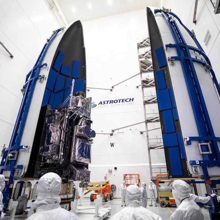
New images from NASA show the rarely seen sight of a satellite being sealed inside the rocket fairing ahead of next month’s launch.
The fairing is a vital part of the rocket design, making the launch vehicle more aerodynamic while protecting the payload from the extreme forces experienced during the rapid ascent to space.
The series of four images (below) show the National Oceanic and Atmospheric Administration’s (NOAA) Geostationary Operational Environmental Satellite-T (GOES-T) undergoing the final preparations ahead of its expected March 1 launch from Cape Canaveral in Florida.
(Click on the images to view the entirety of each one)
✅ Encapsulation
The #GOEST satellite is now encapsulated in the payload fairings that will protect it during launch aboard a @ULALaunch #AtlasV. Keep up with key milestones as we get #ReadyToGOES: https://t.co/XccCDI6tZr pic.twitter.com/ACfpmz7Dmn
— NASA's Launch Services Program (@NASA_LSP) February 15, 2022
The 6,000-pound GOES-T weather satellite, built by Lockheed Martin, was placed inside the fairing at the Astrotech Space Operations facility in Titusville, Florida, about 10 miles from the launch site.
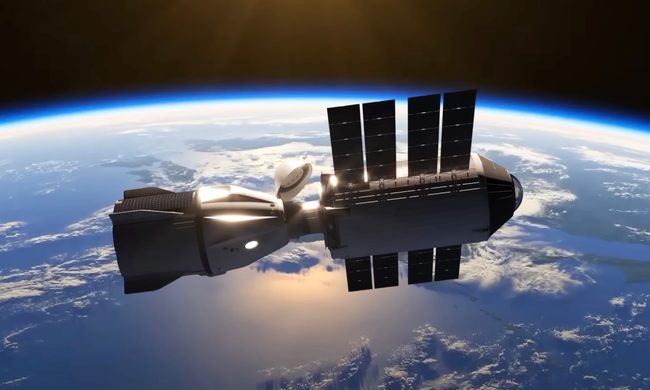
The fairing, together with the satellite safely secured inside, will be placed atop a United Launch Alliance (ULA) Atlas V rocket on Thursday. Then, on February 28, the entire vehicle will be rolled to the Cape Canaveral launch pad for lift-off the following day.
“Things are getting real now, GOES-T is fully assembled and ready for launch,” GOES-T mission manager Rex Engelhardt said in a post on NASA’s website. “Next week, we will be holding the final launch reviews and exercising the teams on their launch consoles in preparation for launch day.”
GOES-T is the third satellite in NOAA’s GOES-R series, with the network enabling meteorologists to monitor and forecast local weather events that affect public safety, including thunderstorms, tornadoes, fog, hurricanes, flash floods, and other severe weather,” according to NASA, with GOES-T set to offer critical data for the U.S. West Coast, Alaska, Hawaii, Mexico, Central America, and the Pacific Ocean. It will also detect and monitor environmental hazards such as wildfires and volcanic eruptions.
NASA is expected to livestream the launch of the GOES-T mission. Be sure to check back for more details on how to watch.