1. Home
  2. Cars
  3. Emerging Tech
  4. Mobile
  5. News

Mercedes-Benz's new augmented reality app will aid first responders

Add as a preferred source on Google

Mercedes-Benz is using augmented reality to help first responders rescue people from cars more quickly. The Rescue Assist app displays schematics of vehicles on a smartphone or tablet, allowing rescuers to plot the quickest and safest way to extricate crash victims.

The app overlays vehicle information on the view from a device’s camera, so users just need to hold the device in front of a car to see what’s inside. All of a vehicle’s systems and hardware are displayed as a 3D model. That allows first responders to to locate things like fuel lines, the high-voltage cables in electric cars and hybrids, and airbags that may not have deployed.

Recommended Videos

Knowing where these components are makes it easier for first responders to plot where to cut into a vehicle in order to free trapped passengers, Mercedes says. It’s probably a good idea to know where the combustible fuel and electricity are before cutting open a car, after all. The 3D images allow users can zoom in and rotate to get the clearest view possible.

Read more: Mercedes catches heat from consumer group for E-Class ad

The app is an expansion of the existing Rescue Assist program, which allows users to view static vehicle schematics online. Mercedes says it can function without an internet or cellular connection. The app comes preloaded with schematics for every Mercedes passenger car built after 1990, every Mercedes van built after 1996, and every Smart car built since the brand’s launch in 1998. Schematics for certain Fuso commercial trucks are included as well. The app is available for iOS and Android, in 24 languages.

To identify a vehicle, the app reads a QR code on the B-pillar or fuel-filler door. Every new Mercedes, Smart, and Fuso vehicle has these QR codes, but owners of older models must take them to dealers to get code stickers. A big part of the app’s effectiveness depends on whether they will take the time to do that.

Stephen Edelstein
Stephen is a freelance automotive journalist covering all things cars. He likes anything with four wheels, from classic cars…
Google Maps’ biggest Android Auto upgrade is reaching more users
Google Maps is finally giving Android Auto users directions with a little more drama.
Electronics, GPS, Car

Google is widening the rollout of two long-awaited Google Maps features for Android Auto users: Immersive Navigation and a built-in live speedometer. After months of limited availability, reports suggest both features are now reaching a broader group of users, including people running stable versions of Google Maps instead of beta builds.

The update is part of Google's ongoing effort to modernize the Android Auto navigation experience. While the company unveiled Immersive Navigation earlier this year as one of the platform's biggest upgrades in years, the feature has been trickling out slowly, leaving many users without access. That appears to be changing, with more devices now receiving the update through a server-side rollout.

Read more
Tesla’s hidden door problem might end up fixing every car in America
This could permanently change how emergency exits are designed in American passenger vehicles.
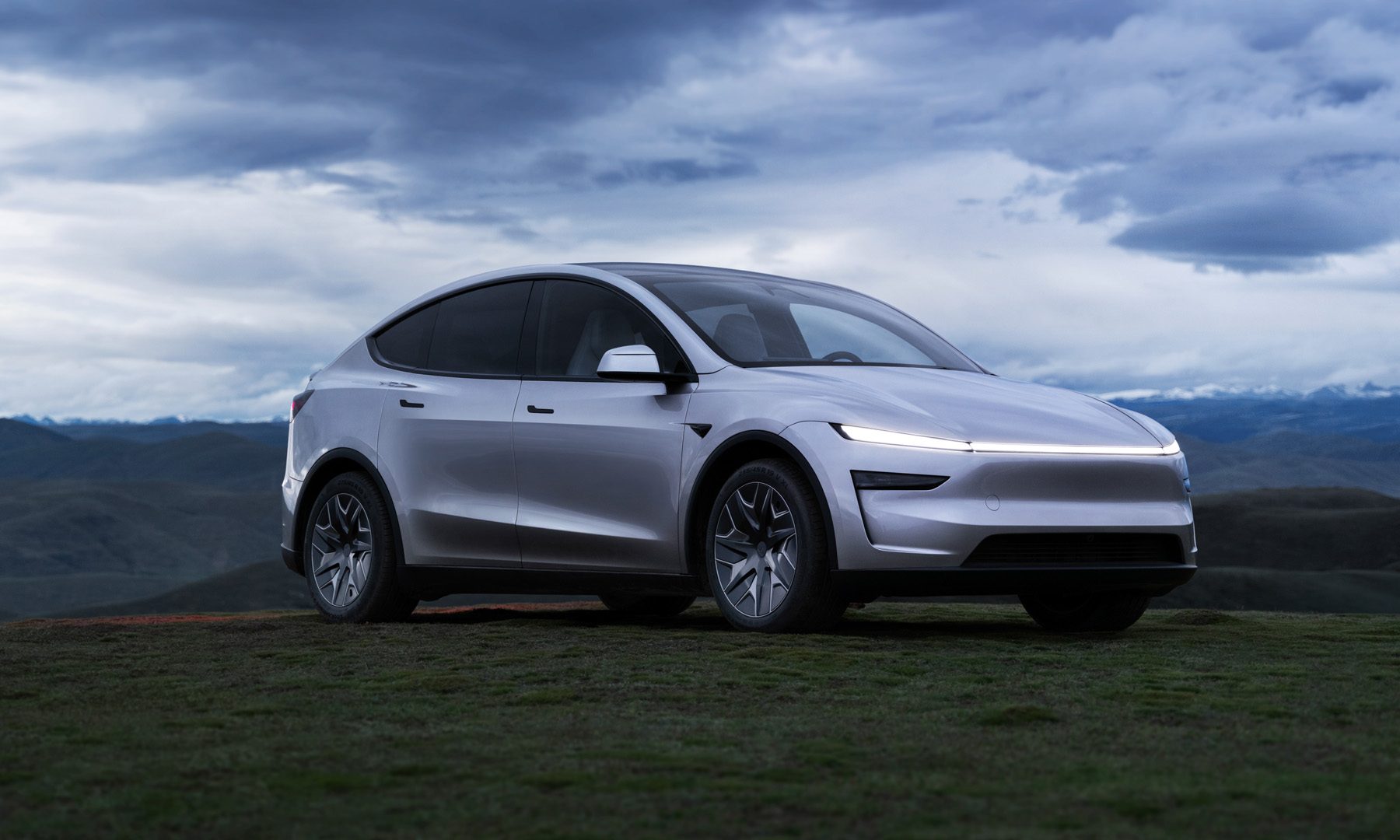
Tesla Model Y Long Wheelbase Featured

Tesla's electronic door handles have been a safety talking point for years, mostly on Reddit threads and EV forums where people debate whether sleek design is worth the tradeoff when a car is on fire and power is out. 

Now the US government has formally weighed in (via The Washington Post). The outcome, I’d say, is bigger than most people think.

Read more
Ford’s UEV platform will feature Apple Maps built in
The integration will run through Apple's new MapKit for Automotive SDK and skip CarPlay's phone-mirroring approach.
Car, Transportation, Vehicle

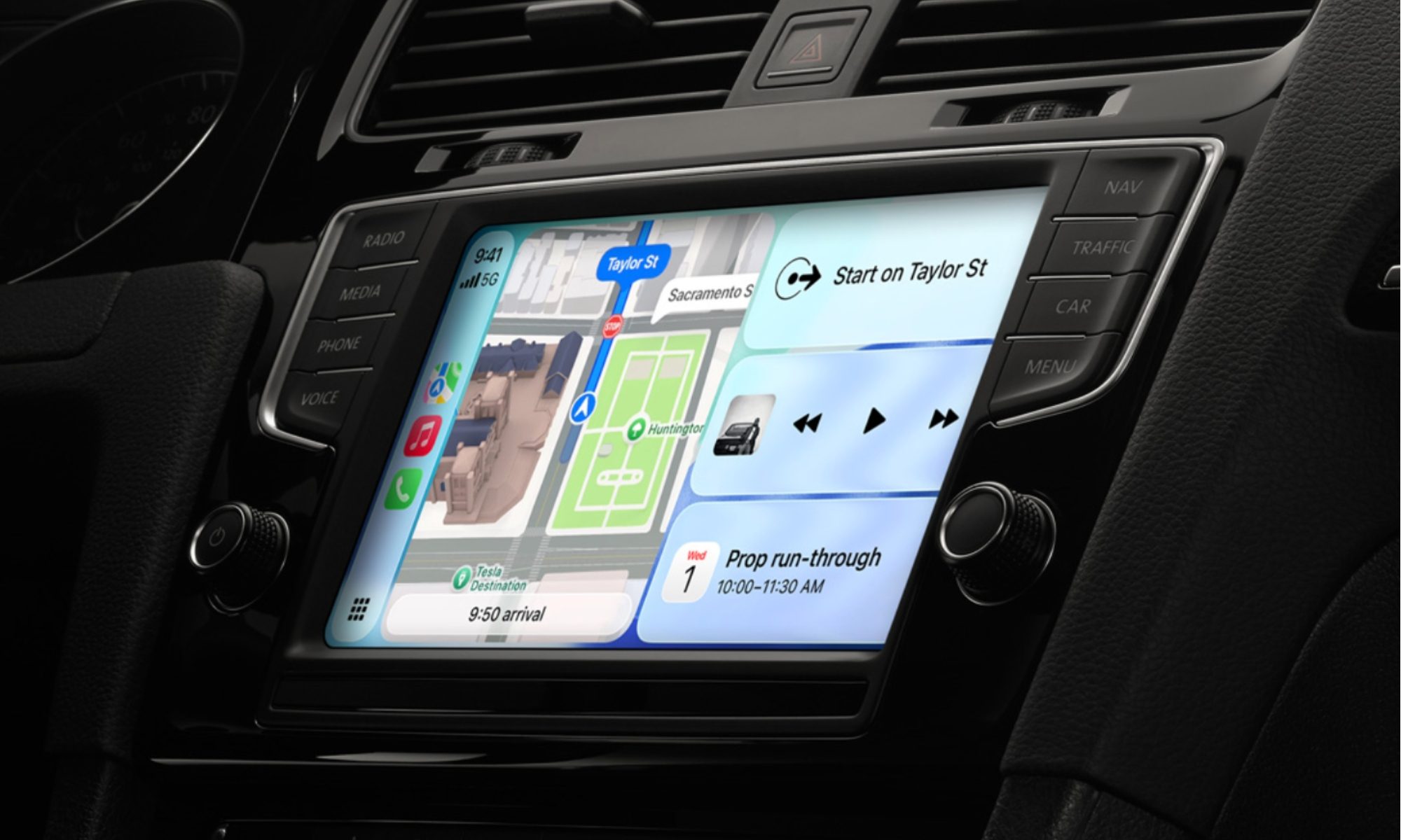
Ford's upcoming budget electric vehicle won't force you to choose between a built-in map and one borrowed from your phone. Apple announced today that Ford's Universal Electric Vehicle (UEV) platform will ship with Apple Maps running natively on the car's screens. The feature will arrive in 2027 through Apple's new MapKit for Automotive SDK, a toolkit that lets automakers build Apple Maps straight into their dashboards.

An infotainment system that doesn't need your phone plugged in

Read more