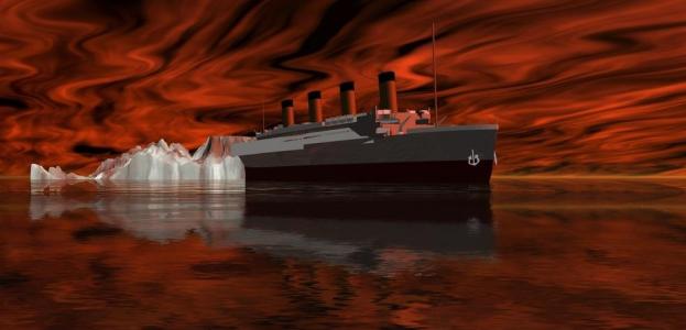
 With the 100-year anniversary of the sinking of the Titanic approaching, researchers have announced completion of a new detailed map of the ship’s entire debris field.
The research team hopes it will provide further information about the fateful night in April 1912 when the ocean liner sank after hitting an iceberg in the North Atlantic during its maiden voyage from Southampton to New York. More than 1,500 people died in the incident — an incident that has since inspired countless movies and novels.
To help build the high-resolution map, the team used over 100,000 photos taken by underwater cameras and sonar imaging equipment.
“With the sonar map, it’s like suddenly the entire room lit up and you can go from room to room with a magnifying glass and document it,” Titanic historian Parks Stephenson told the Associated Press this week. “Nothing like this has ever been done for the Titanic site.”
The comprehensive map shows hundreds of objects strewn across the ocean floor, and also offers some further clues as to the way in which the enormous vessel sank. For example, marks on the ocean floor appear to suggest that the stern rotated like a helicopter blade as it went down; it had been thought the ship simply plunged straight down. Closer examination of the debris will also give researchers a better idea of how the ship broke apart.
Titanic explorer Charlie Pellegrino told the AP that a map of the site has been gradually building up over the years, but the 2010 expedition shows for the first time the whole of the debris field and in unprecedented detail. “This is quite a significant map. It’s quite a significant advance in the technology and the way it’s done,” he said.
Robots known as autonomous underwater vehicles (AUVs) surveyed the wreckage site with side-scan sonar, the AP reported. Besides the main site, the AUVs also covered an area where most of the debris had settled, taking 130,000 high-resolution photos in the process. These were then stitched together to produce the map.
The mapping took place as part of an enormous joint project involving RMS Titanic Inc. (the legal custodian of the wreck), the Woods Hole Oceanographic Institution, the Waitt Institute of La Jolla, the History channel, the National Oceanic and Atmospheric Administration, and the National Park Service.
A forthcoming History channel documentary promises to be a fascinating watch if the claims of a senior vice president of the channel are anything to go by.
“We’ve got this vision of the entire wreck that no one has ever seen before,” Dirk Hoogstra said. “Because we have, we’re going to be able to reconstruct exactly how the wreck happened. It’s groundbreaking, jaw-dropping stuff.”
The documentary, which promises to reveal plenty of new information about the tragic fate of this legendary liner, airs on April 15.
[Source: AP] [Image: Catmando / Shutterstock]


