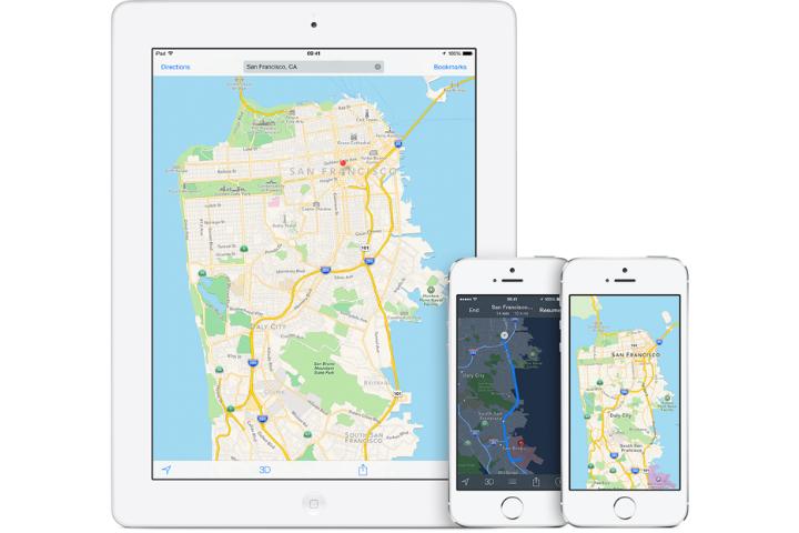
The company filed a patent called “User Interface Tools for Commute Assistant,” at the U.S. Patent and Trademark Office (USPTO) on December 4. The patent details plans for a public transit app for commuters and travelers that would allow Apple Maps to draw information on trains, subways, and buses from other public transit apps it recently acquired, such as Embark and Hopstop, as well as Google Maps.
The app may allow users to select one of several different routes to their destination, view estimated arrival times, and also get details about delays or potential problems at individual stops and stations. The directions should update in real time, so you can see what’s happening while you’re en route. This could be particularly useful when you’re stuck in a New York City subway train between stations for 15 minutes.
If you take the same route every day, like most commuters, you’ll be able to save your favorite routes, and even select a backup for each trip. That way you could quickly switch trains or buses if there was a problem on your line. The app may also provide information about all the forms of transit that pass through each station, and provide a space for favorite routes, a section for service advisories, and information on which stations have Internet access.
Of course, the commute app is still only a patent, so it’s unknown when the public transit features will debut on iOS. Apple was silent about Maps during its iOS 8 presentation this past June at its developers conference, so solid news on the feature’s integration may not come until next year’s WWDC.
Editors' Recommendations
- Here’s how Apple could change your iPhone forever
- Apple is updating one of the oldest apps on your iPhone
- Don’t update your Apple Watch unless you want this ugly display bug
- Your Apple Watch may get a surprisingly big update this year
- This major Apple bug could let hackers steal your photos and wipe your device