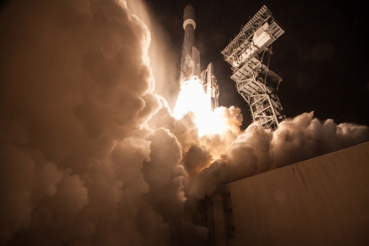
“The next generation of weather satellites is finally here,” mused NOAA Administrator Kathryn Sullivan. It’s not hyperbole either: Instead of images of the continental United States every 15 minutes, we’ll now get images every five. In severe weather events, local areas would have high-definition imagery available every 30 seconds, something that current GOES satellites cannot do.
This changes the game when it comes to severe weather prediction, according to scientists. Meteorologists would be able to watch the life cycles of storms in incredible detail. “The launch of GOES-R represents a major step forward in terms of our ability to provide more timely and accurate information that is critical for lifesaving weather forecasts and warnings,” said Thomas Zurbuchen, associate director of NASA’s Science Mission Directorate.
GOES-R will do more than just produce high-definition satellite imagery for your evening news. The satellite also has the first geostationary lightning mapper in orbit, a big deal for severe weather research. Combined with the quick updating satellite imagery, the ability to show lightning in near real time could help increase tornado lead times.
Recent studies suggest that a sharp increase in lightning activity may precede tornadic activity. While the research is in its infancy, the lightning mapper may provide further evidence of a connection — something researchers hope to use in future severe storm forecasting.
Another area that will see vast improvement is solar monitoring. While the primary aim of GOES-R is to monitor earth-based weather, space weather is an increasingly important topic. Solar flares can disrupt our satellites and communications infrastructure, so having a new line of defense will assist in giving us early warning of potential issues long before they reach Earth.
All in all, some 34 products — either new or vastly improved — will be available to scientists. While the satellite will make its way to its storage point sometime in early December, it won’t be placed into service until later in 2017. It’s unknown at this time whether it will replace GOES-East, which watches the Eastern U.S .and Western Atlantic, or GOES-West, which monitors the Western United States and Eastern Pacific. That decision should come sometime in early 2017, NASA says.
All told, four satellites will be launched as part of the GOES-R ‘series.’ GOES-S is slated to launch in 2018, followed by GOES-T in 2019, and finally GOES-U in 2024. As each new satellite is brought online, older ones will be decommissioned or placed in storage. NASA and NOAA always plan to have at least one satellite in position as a backup in case anything goes wrong.
Editors' Recommendations
- Watch the key moments from SpaceX’s spy satellite launch
- How to watch NASA launch next-gen weather satellite to space tomorrow
- NASA keeping an eye on weather forecast for SpaceX’s crewed launch on Thursday
- New Air Force satellites are equipped with a game-changing new ability
- SpaceX’s Saturday launch depends on the weather. Here’s how it’s looking