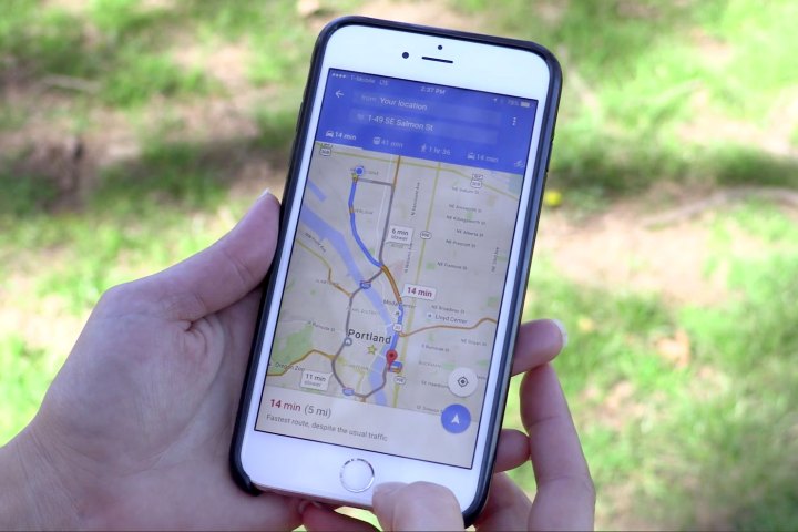
References to parking alerts were first discovered in a teardown of the beta version of Google Maps by Android Police, but the feature is now live according to Google. The alerts will do exactly what you’d expect it to: Indicate how difficult finding a parking space is likely to be in a given locale. The app will describe congestion in levels of increasing severity — easy, medium, and limited.
Parking availability will be shown through a small “P” icon next to the driving duration estimate. If parking is limited, that icon will turn red.
Google says the feature is rolling out in “25 metro areas” in the U.S.: San Francisco, Seattle, Miami, Atlanta, Boston, Chicago, Detroit, Los Angeles, Minneapolis/St. Paul, New York City, Orlando, Philadelphia, Pittsburgh, San Diego, St. Louis, Washington, DC, Cleveland, Dallas/Fort Worth, Denver, and Houston; as well as Phoenix, Arizona; Portland, Oregon; Sacramento, California; Charlotte, North Carolina; and Tampa, Florida.
The data is based on historical parking data, and Google says it’s similar to how it calculates Popular Times and Visit Duration — with aggregated and anonymized data from users that opt in to Google Location History.
You’ll have to be in one of the 25 metro areas in the U.S. to see the feature in action, and Google doesn’t mention an update so you may just have to wait for a server side switch if you don’t see it yet.
Updated on 01-26-2017 by Julian Chokkattu: Added official details from Google.
Editors' Recommendations
- Google is bringing Chrome browser to cars, even more EV features to Maps
- Google Maps got a major update, and people hate it
- Google Maps directed man to drive off collapsed bridge, lawsuit claims
- Google gives Maps’ Immersive View a boost and adds a new vibe feature
- Google Maps rolls out fly-around imagery of top landmarks

