
Russia’s invasion of Ukraine may be the first major military conflict that can be tracked live on Google Maps.
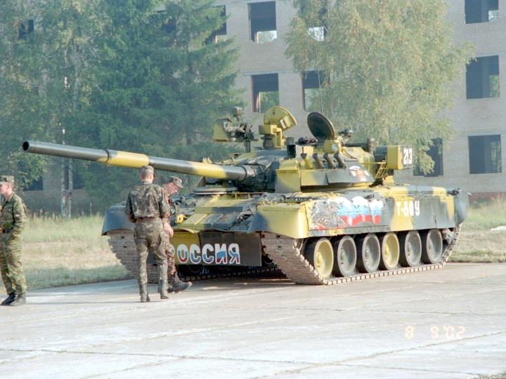
What appeared to be armored vehicles were visible on Wednesday from a Google traffic jam update, arms control expert Jeffrey Lewis noted in a tweet. Experts say it’s a sign of the challenges militaries face when trying to move covertly in an age of ubiquitous surveillance.
“It’s difficult to hide the traffic delays created by moving an armored column,” said Jonathan Flint, a political science professor at Case Western Reserve University who studies the military. “And it’s very hard to police the digital hygiene of people in the theater. In other words, even a low-ranking member of a military with sloppy personal information security can give away a lot of information unintentionally.”
Little use in hiding
Russia has been vague about its intentions in Ukraine, but its troops may have been spotted online on Wednesday moving through the country. The traffic jam at 3:15 a.m. appeared on the road in Google Maps from Belgorod, Russia, to the Ukrainian border.
The traffic “starts exactly where we saw a Russian formation of armor and IFV/APCs show up yesterday,” Lewis wrote. “Someone’s on the move.”
Since the war began Thursday, social media has been filled with images of Russian aircraft and troops attacking Ukraine. Hiding military movements is a significant challenge dueto technological advances. Flint said that rapidly updated imagery from commercial satellites being placed in the public domain could provide opportunities for public photo analysis.
“The other interesting thing is that we see the increased integration of other technologies into online mapping – fitness trackers and cell phones can all help provide further information for analysis,” he added.
Most modern militaries understand when remotely sensed imagery satellites have line of sight to their location, but they do not make a point to hide all of their military equipment, said Billy Zsambok, a professor of geospatial intelligence at the University of Arizona. Only the most sensitive equipment or activities are hidden from observation.
“The increasing number of commercial imaging satellites has grown so great (and will continue to do so) that hiding equipment and activities for small periods of time inhibits operations,” Zsambok added. “To hide from observation, they may travel during times that satellites are not expected to be overhead or conceal activity underground or by hiding in surrounding environments using camouflage, concealment, and/or deception techniques.”
Imagery for sale
Almost anyone with an internet connection can collect intelligence on military movements.
Maps can show updated troop movements simply if they are observed line of sight from a passing satellite, Zsambok said. Satellite imagery coverage depends on who tasked and paid for the collection to happen.
Google does not own satellites and it would be cost-prohibitive for Google to constantly pay for global high-resolution imagery collection, Zsambok said. Instead, some other customer pays for this commercial imagery from the vendor, and the vendor collects the imagery and provides that imagery to the customer.
“ The customer buys a license to use the imagery, it is not solely theirs,” he added. “So, the vendor places the imagery at a discounted price to others that want to use it, which increases their profit margins. That is where Google Maps comes in, acquires the imagery, and adds it to their application.”
Openly available data has leaked military movements in the past, Flint noted. Fitness tracker websites revealed the running routes of troops at Kandahar and Bagram bases in Afghanistan. Public satellite data has been used to find mass graves in Burundi and outside Srebrenica in Bosnia Herzegovina.
Currently, the U.S. and other countries are looking for ways to hide in this high-tech environment, including improving camouflage, being able to distract satellites, and reducing data availability around troop movements, Flint said.
“But this presents another problem, as the sudden lack of information coming from a particular area may be just as telling as the presence of it,” he added.
“It’s extremely hard to conceal troop and vehicle movements these days,” Flint said.


