There are millions of images of every major city in the world, many of which are shared openly online. The ETH Zurich team realized they could collect this image data — from standard photos captured by tourists to videos streamed through public webcams and use triangulation to replicate regions in detail.
“We combined all sources to provide a complete view of a city,” Hayko Riemenschneider, Varcity project manager, told Digital Trends. “The more data we have of an area, the more precise our models get.”
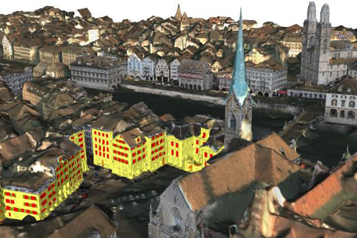
The team used machine-learning algorithms — developed over five years as a European Research Council project — that semi-automatically analyze the images and created a rough sketch of the city. “There is no manual 3D artist modeling work involved at all,” Riemenschneider said. “This makes the solution scalable to the whole city.”
They then augment the models with on-the-ground knowledge of the area in question. “Having knowledge — again, automatically deduced — about what part of a 3D model is a building, what part is a floor, and what part is a window or a balcony, allows to compress the data, or to abstract the data in a cartoon-like yet still 3D version,” Riemenschneider said. The idea behind abstraction is to help conceal faces and objects to maintain privacy. “Hence, even if data get lost in the wild, privacy is preserved,” he said.
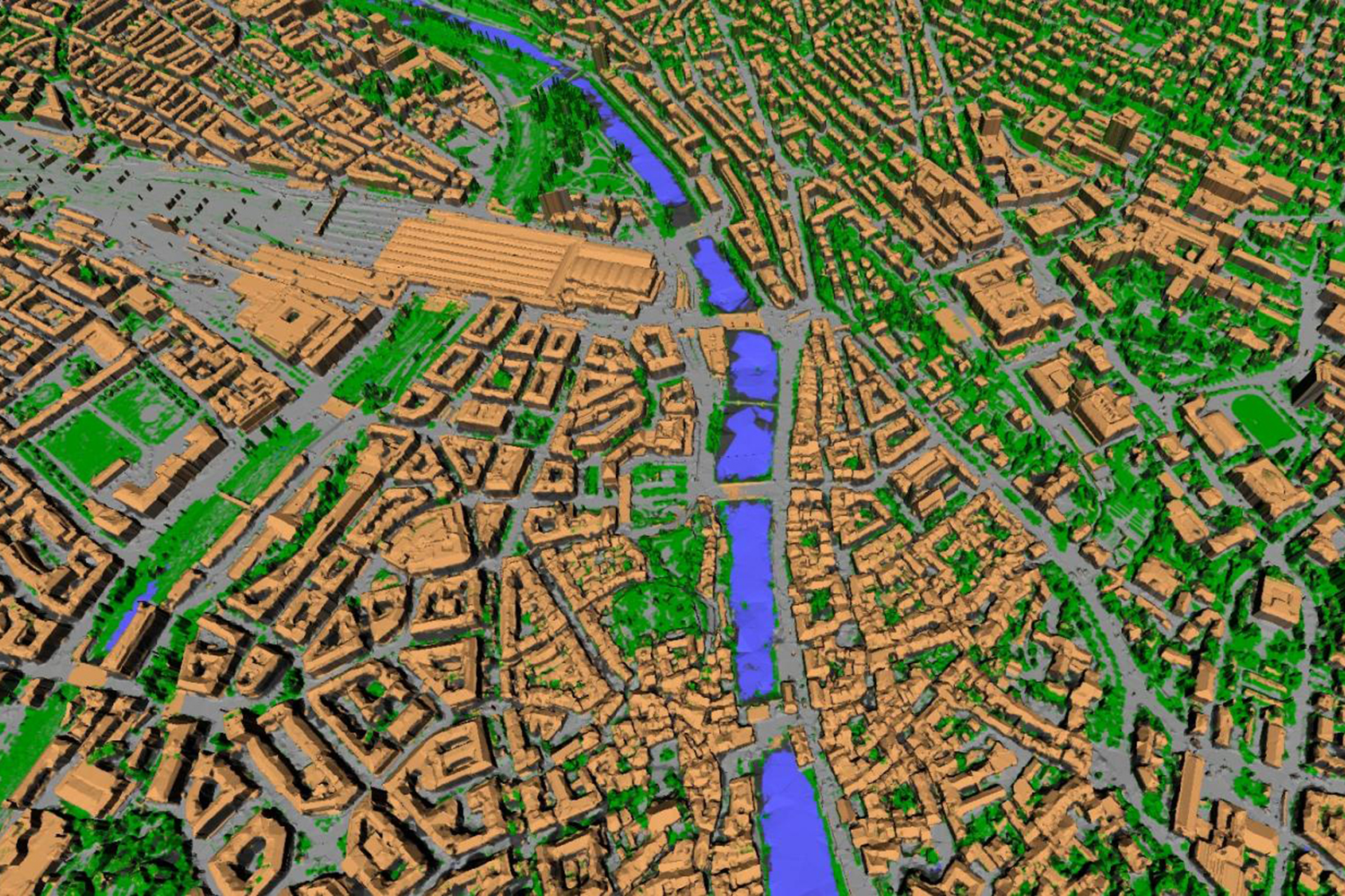
The Zurich model is meant to demonstrate the algorithms that support Varcity. The researchers think their platform can help design smarter and more livable cities.
“There are a number of applications such as urban city planning, architectural design, traffic modeling, autonomous navigation and tourist guidance, as well as catastrophe response planning,” Riemenschneider said.
To showcase their model, the researchers have created a short video, which they will showcase in a Zurich cinema on Frida.